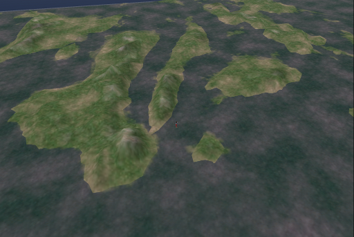
I had to drop this from my project as it involve 64 sims. GIS data was used to create the terrain. I'm going to post the documentation on how I did it later. This proves that OpenSim is not just a toy, it can be used for teaching GIS, geography and geology at a distance.


No comments:
Post a Comment